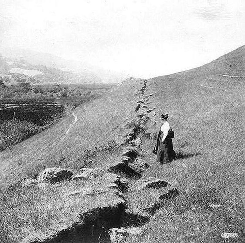
The 1906 earthquake that destroyed much of San Francisco created a noticeable gap all along the San Andreas Fault line. The San Andreas Fault is located at the boundary between the North American Plate and the Pacific Plate. Identified in 1895 by a U.C. Berkeley geologist Andrew Lawson, it was named after the San Andreas Lake created by the fault. After the 1906 earthquake, Professor Lawson was able to determine that the fault line extended all the way to the southern part of California. Following the Great Earthquake, the fault line was clearly visible, as shown in this image.
Courtesy History Daily